Implementation and inauguration of Poros trails


The new website of Poros trails!

From the end of last year, the implementation of the Poros hiking trail began. A project conceived back in 2016 has successfully reached completion.

Cleaning, walkability improvements, signposting, maps and website creation were implemented by Paths of Greece, its partners and the Municipality of Poros.

The inauguration of the hiking network took place on Monday, May 15, and was followed by a hike that included part of route 2.

Of course, nothing ends, as our collaboration with the municipality of Poros will remain close, for reasons of maintenance, expansion and continuous promotion.

Find more information on www.porostrails.gr

Implementation of Hydra trails

The hiking network of the island of Hydra is now complete and operational!

The hiking network of this historic destination in Greece has its own exclusive website and mobile application for android and ios!

Web page
https://www.hydratrails.gr/el/

Facebook page
https://www.facebook.com/hydratrails

Instagram page
https://www.instagram.com/hydratrails/

Android application
https://play.google.com/store/apps/details?id=net.stonewave.hydra_trails&hl=en_US&pli=1

IOS application
https://apps.apple.com/gr/app/hydra-trails/id1356614237


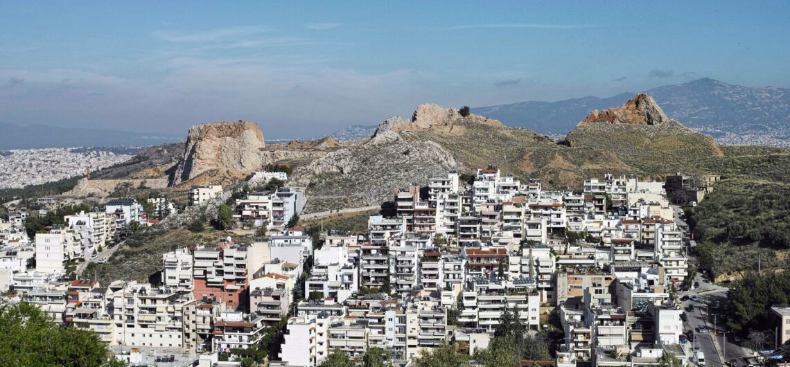
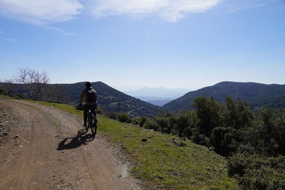
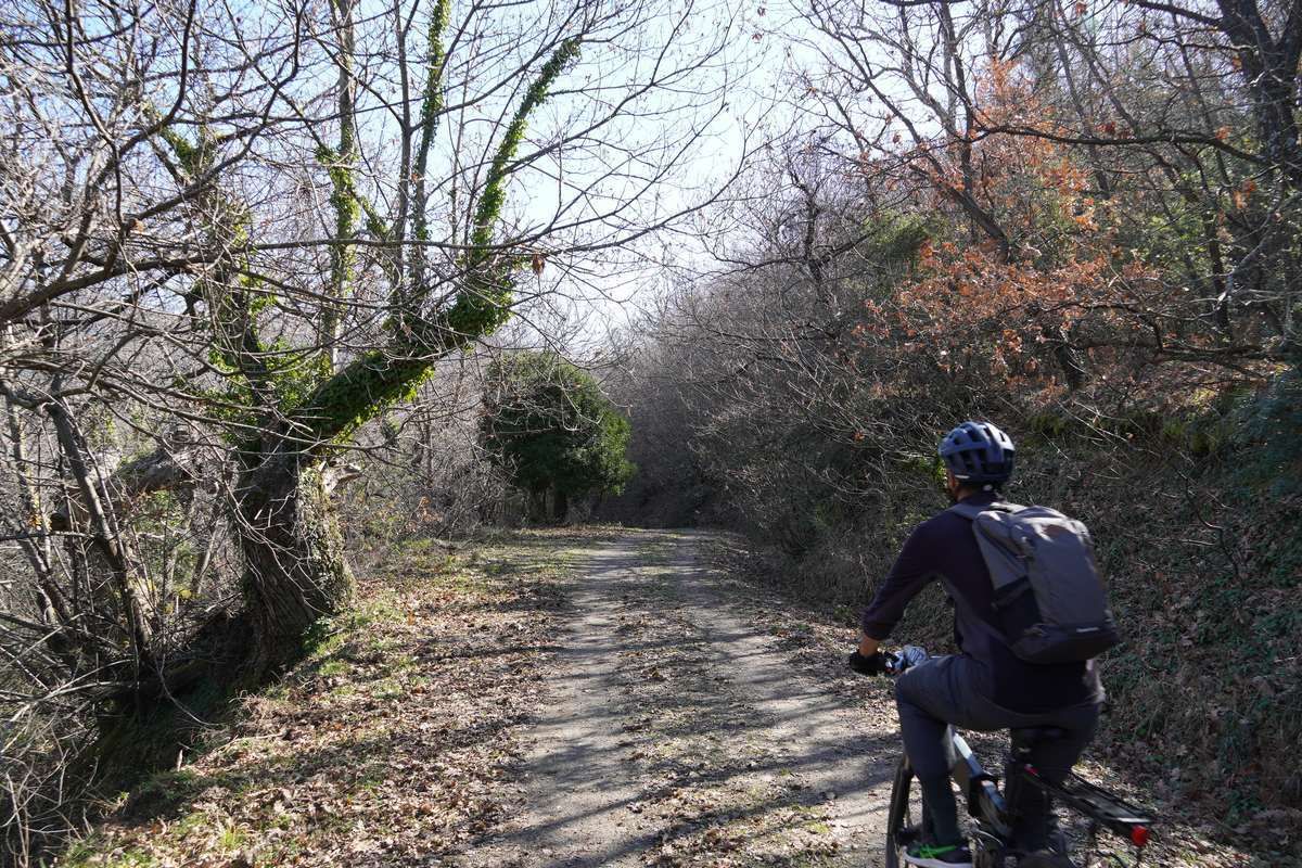
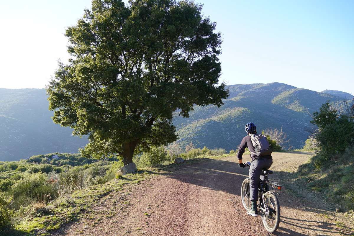
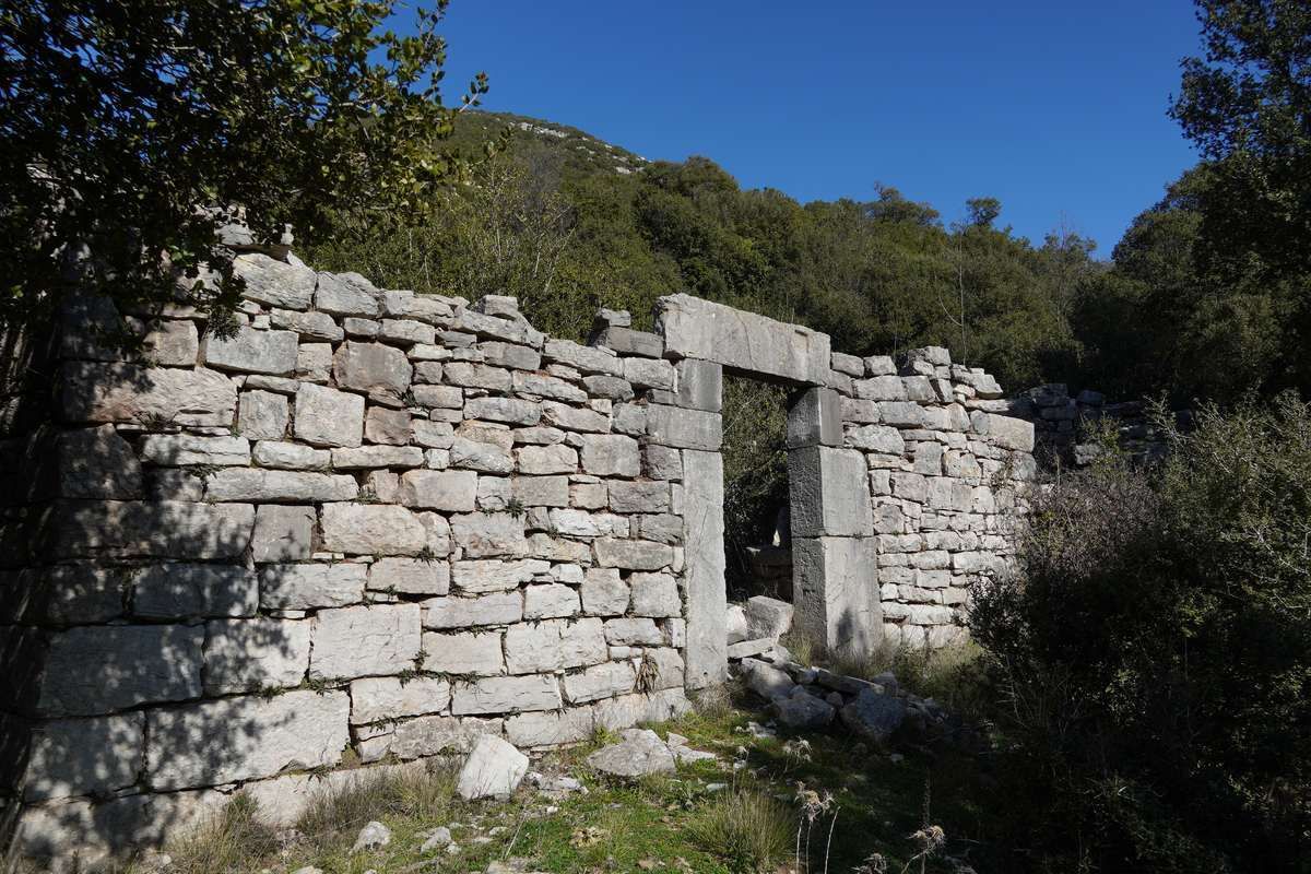
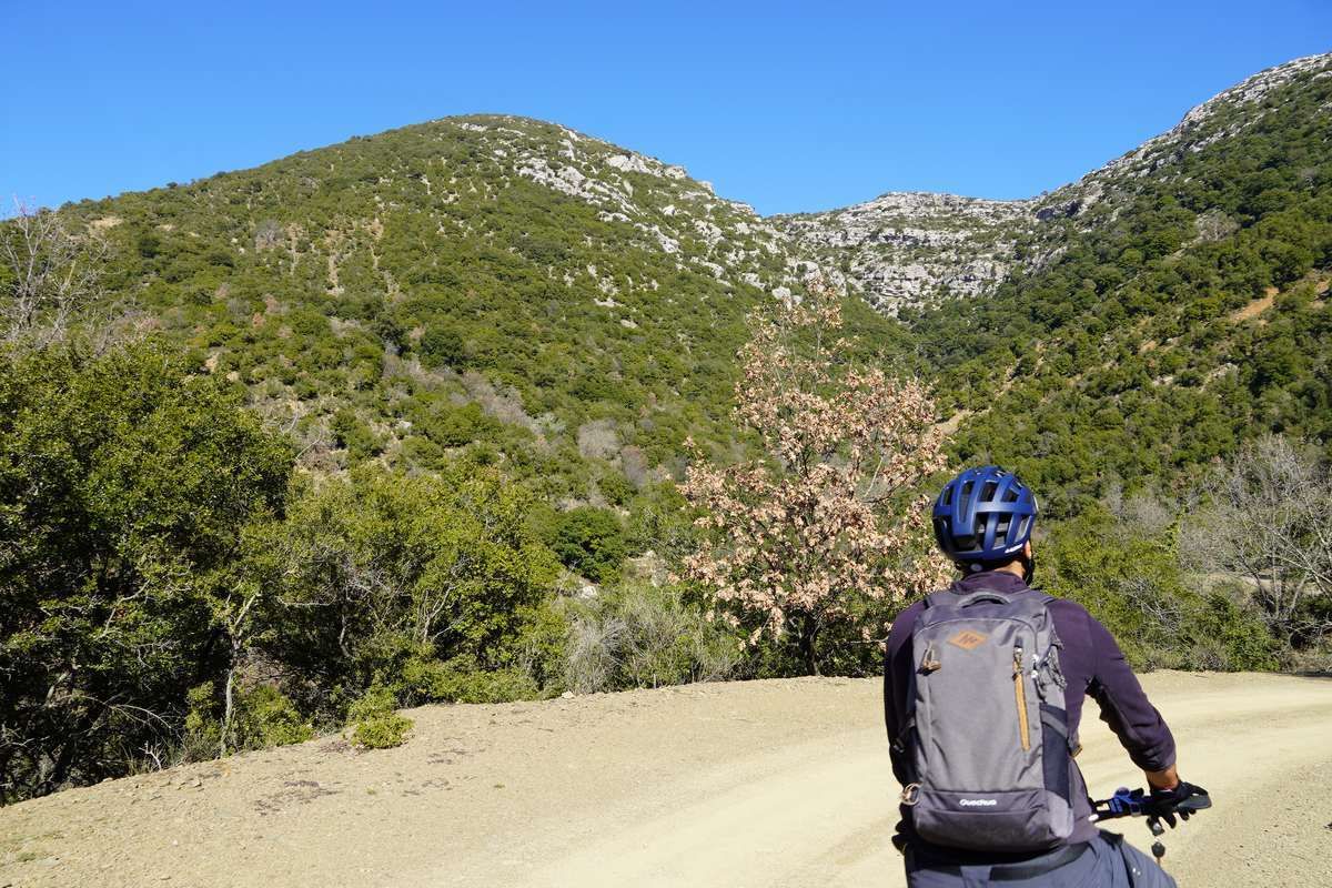
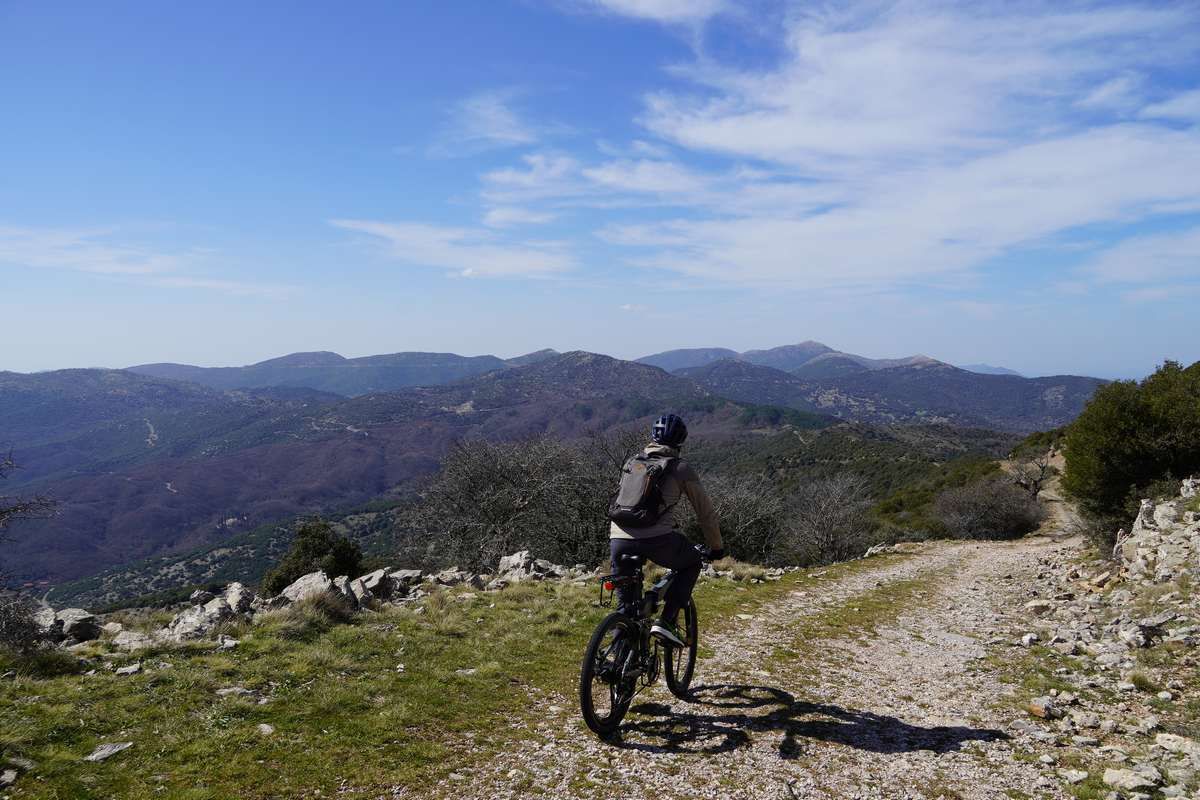
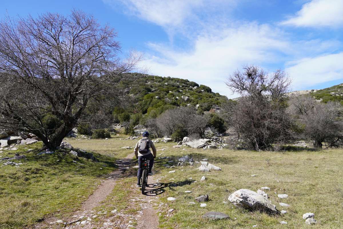
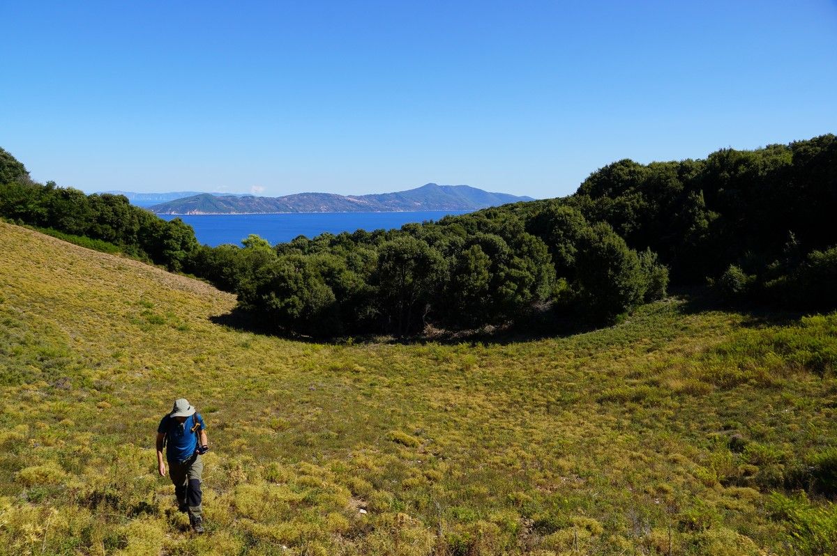
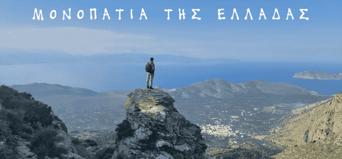
International tourism exhibitions


At the beginning of the year, some of the most important international tourism exhibitions take part. We participated in three of them, representing Greek destinations with which we have collaborated in the past to create hiking networks.

The first exhibition was Fiets en Wandelbeurs Nederland in Utrecht, Netherlands, February 25-26. Its subject is generally outdoor activities and alternative tourism, with a greater emphasis on hiking and cycling.

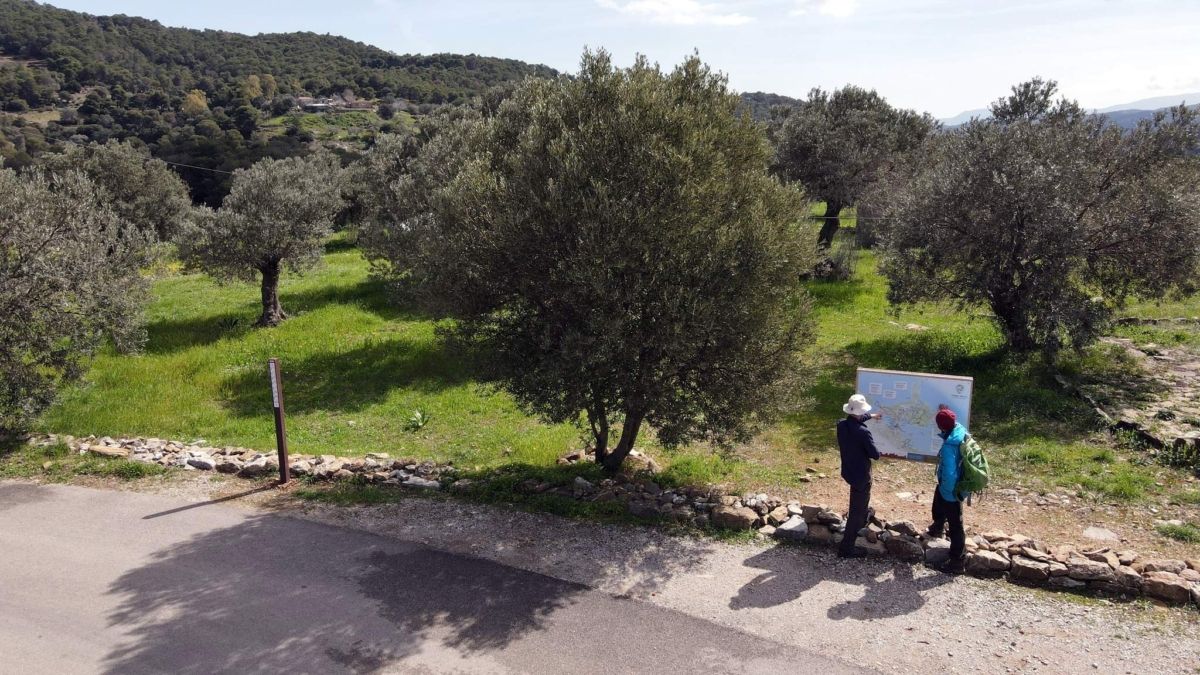
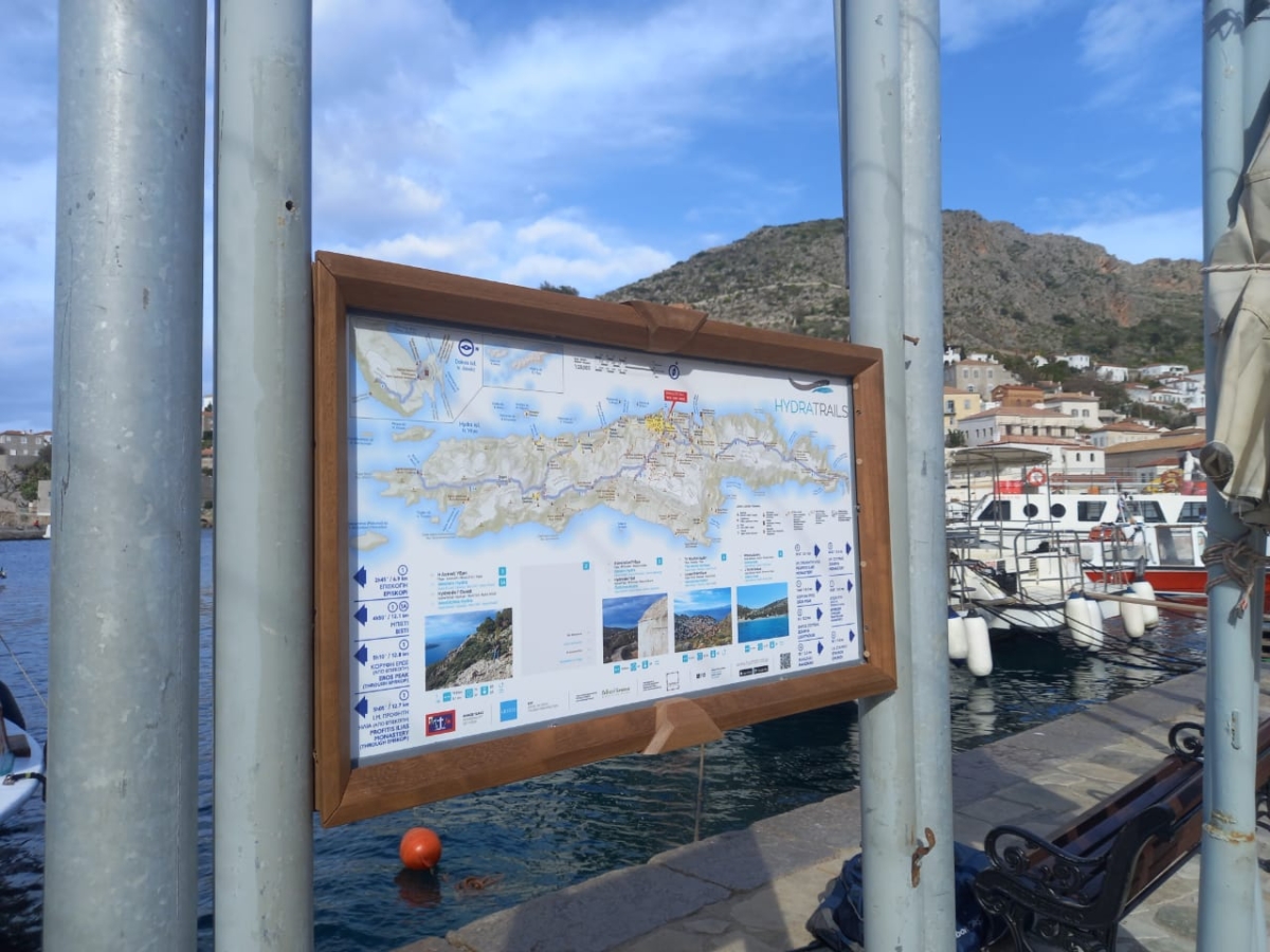
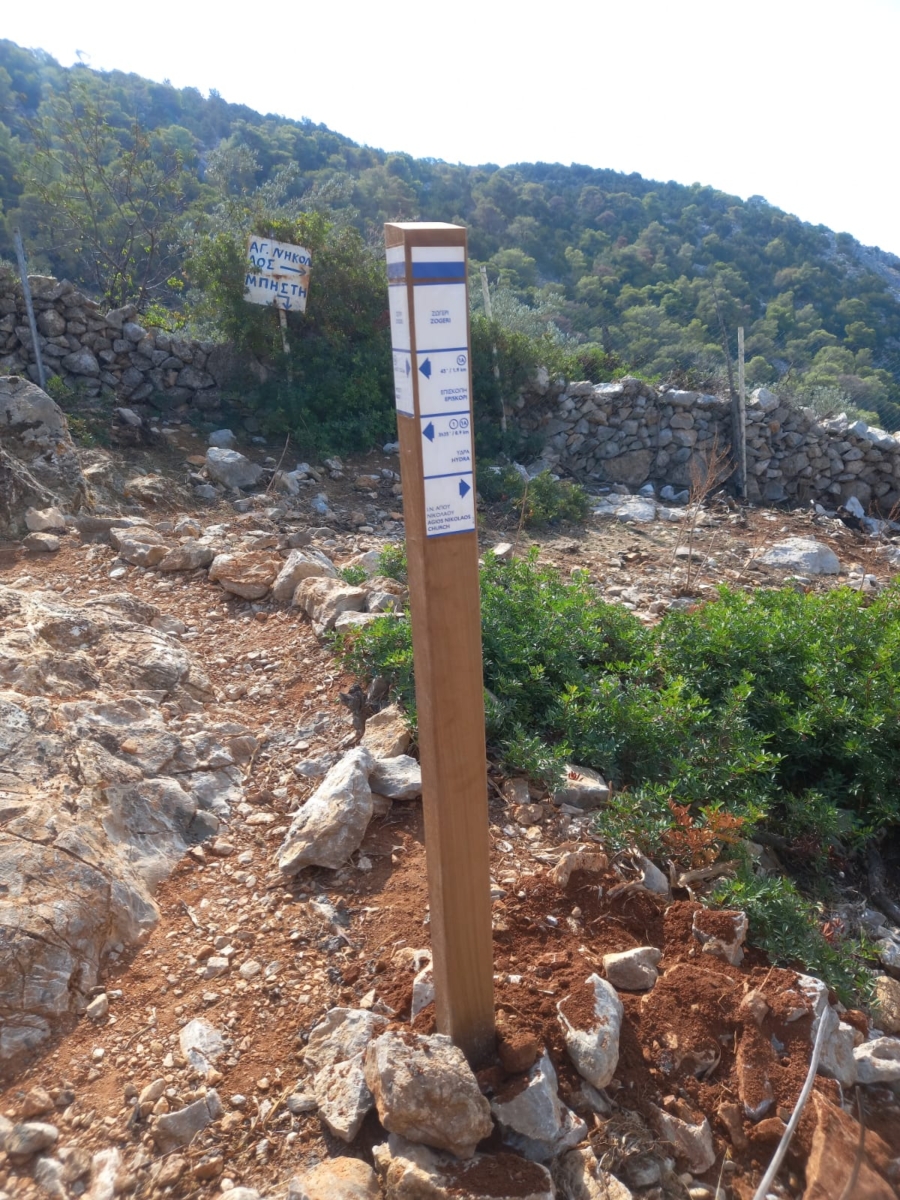
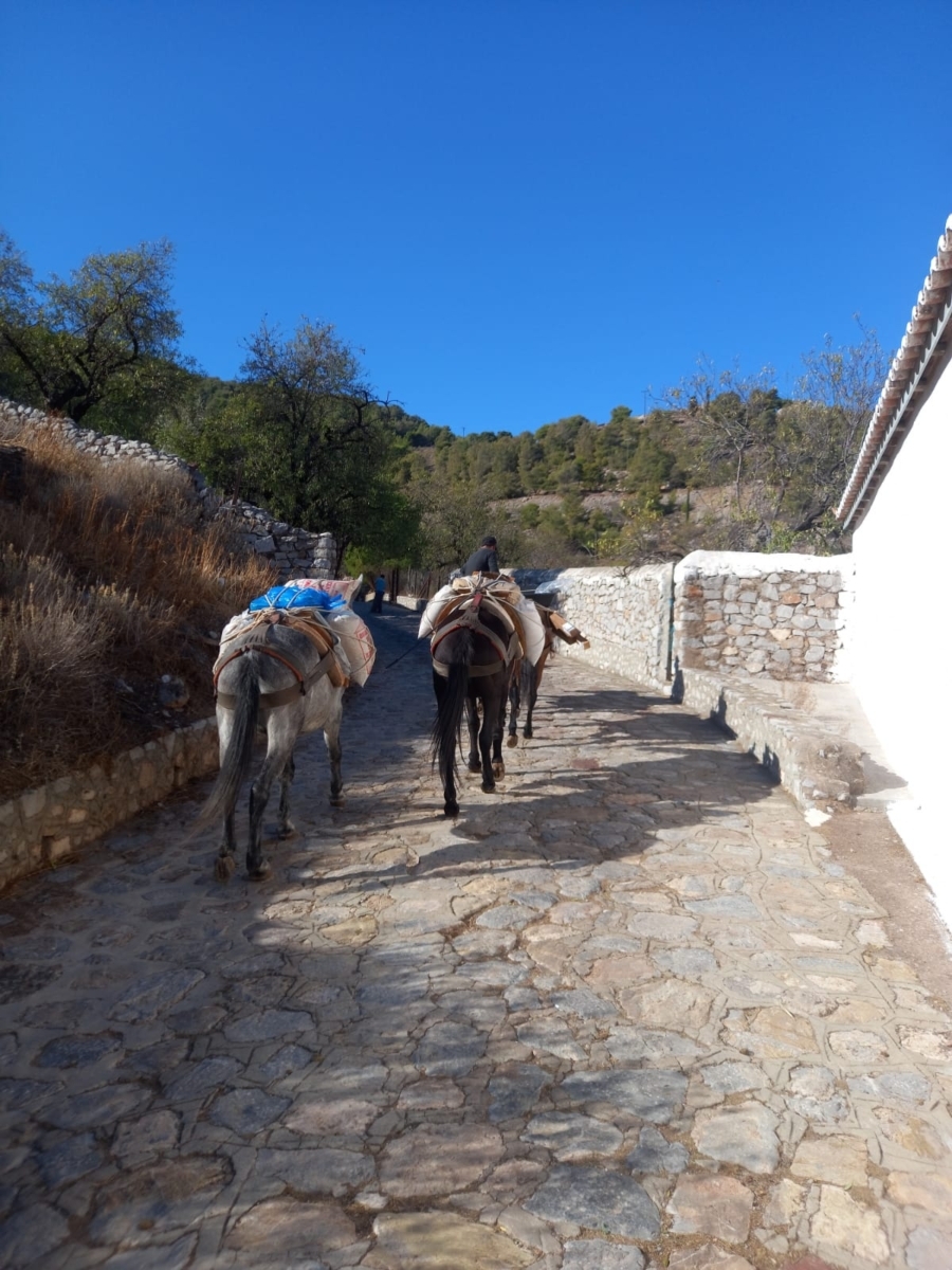
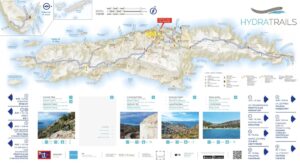
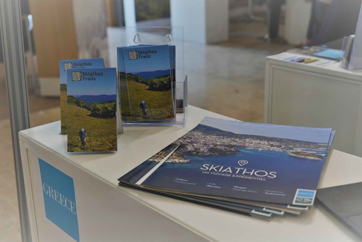
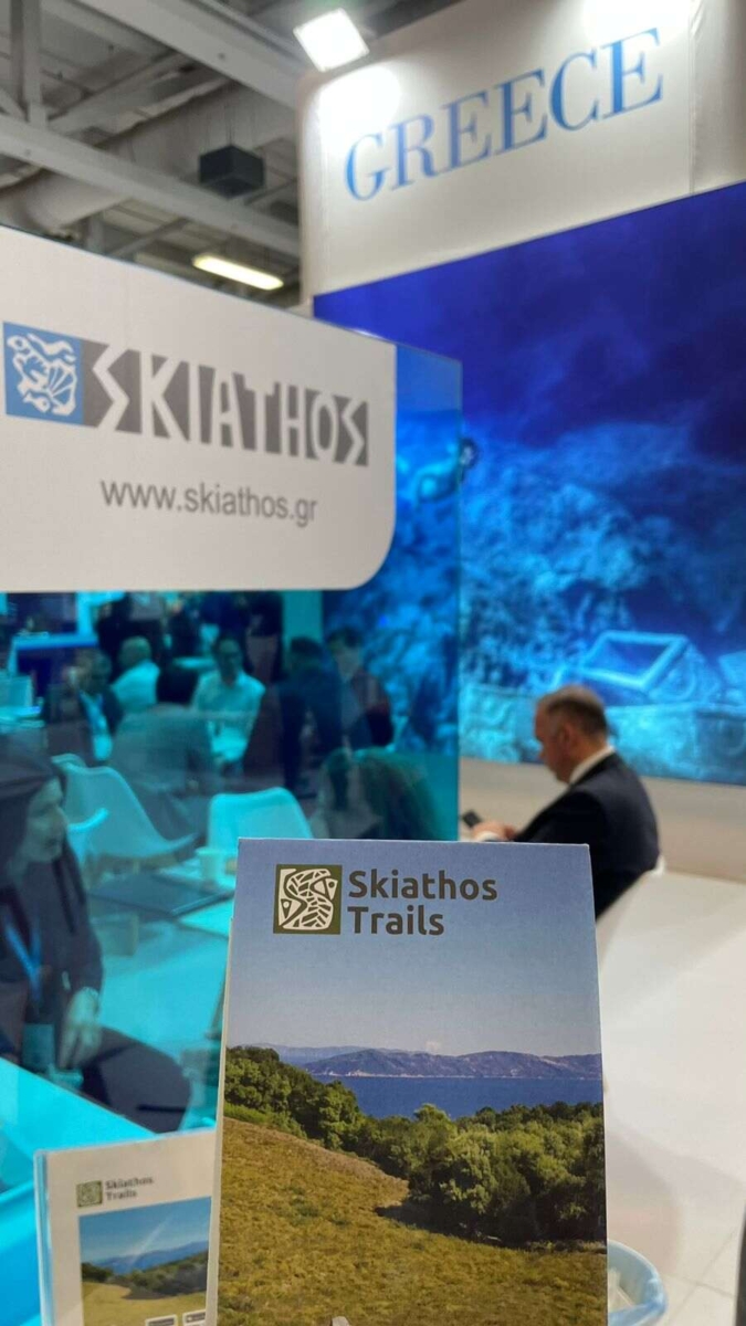
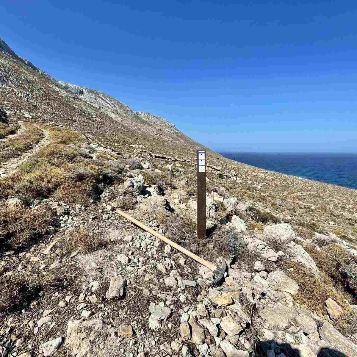
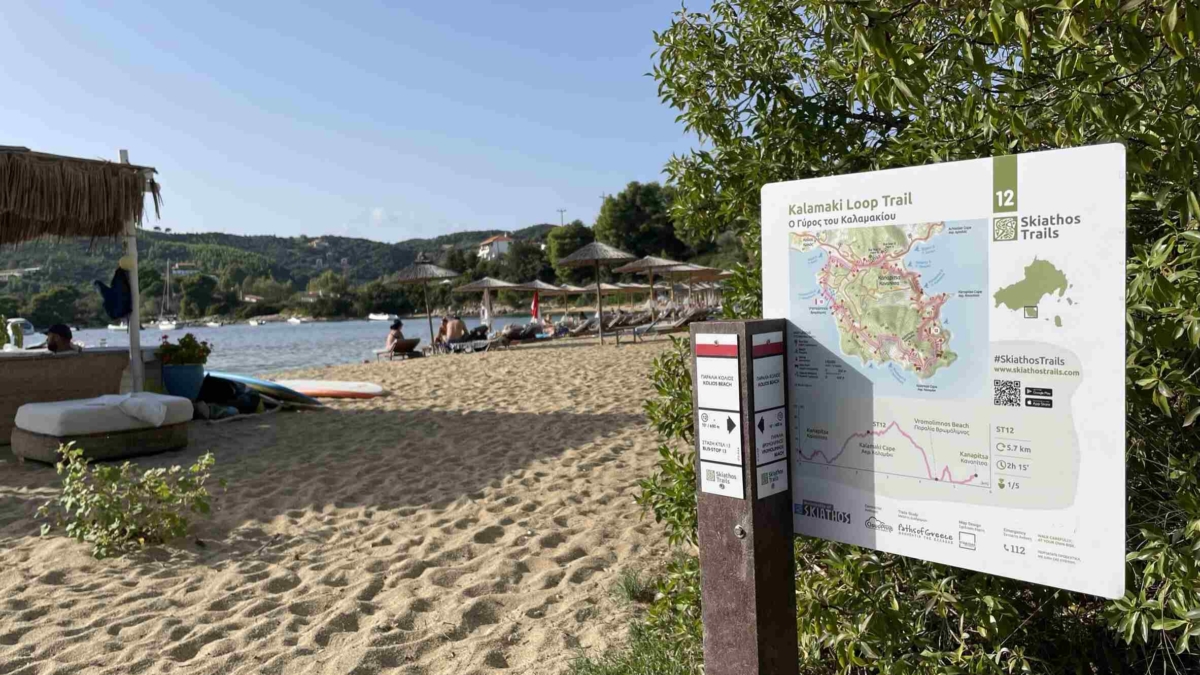
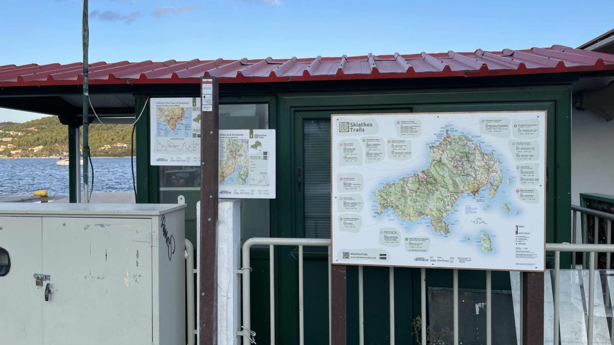
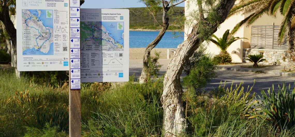
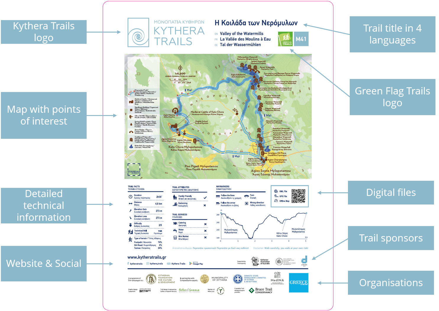
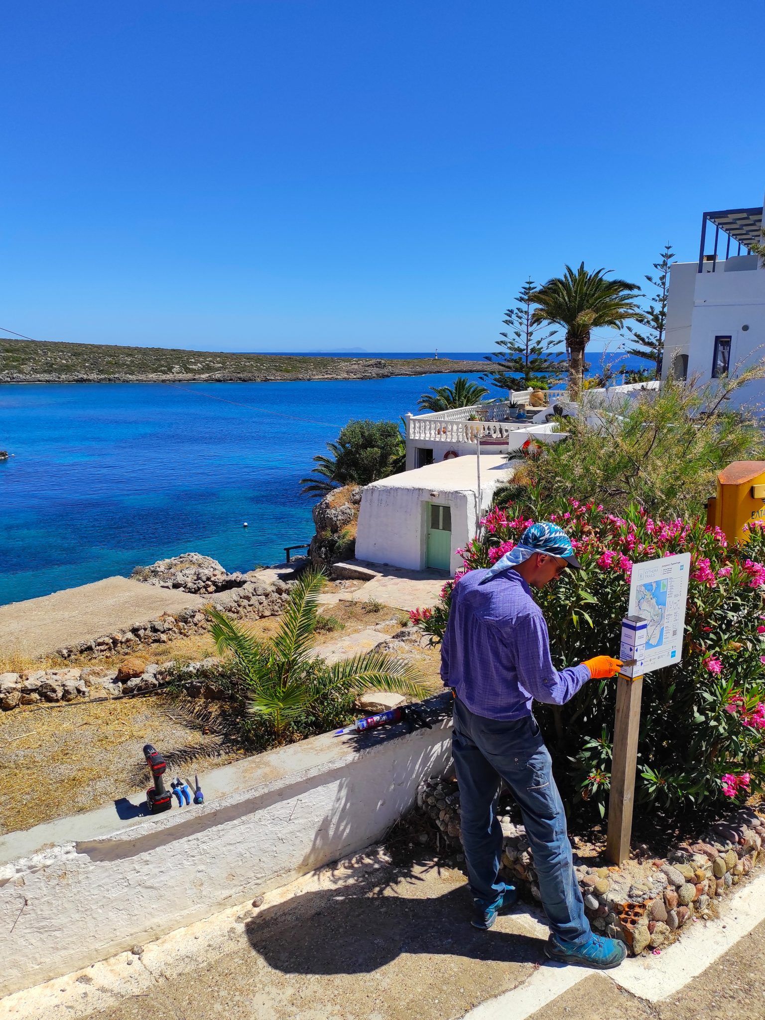
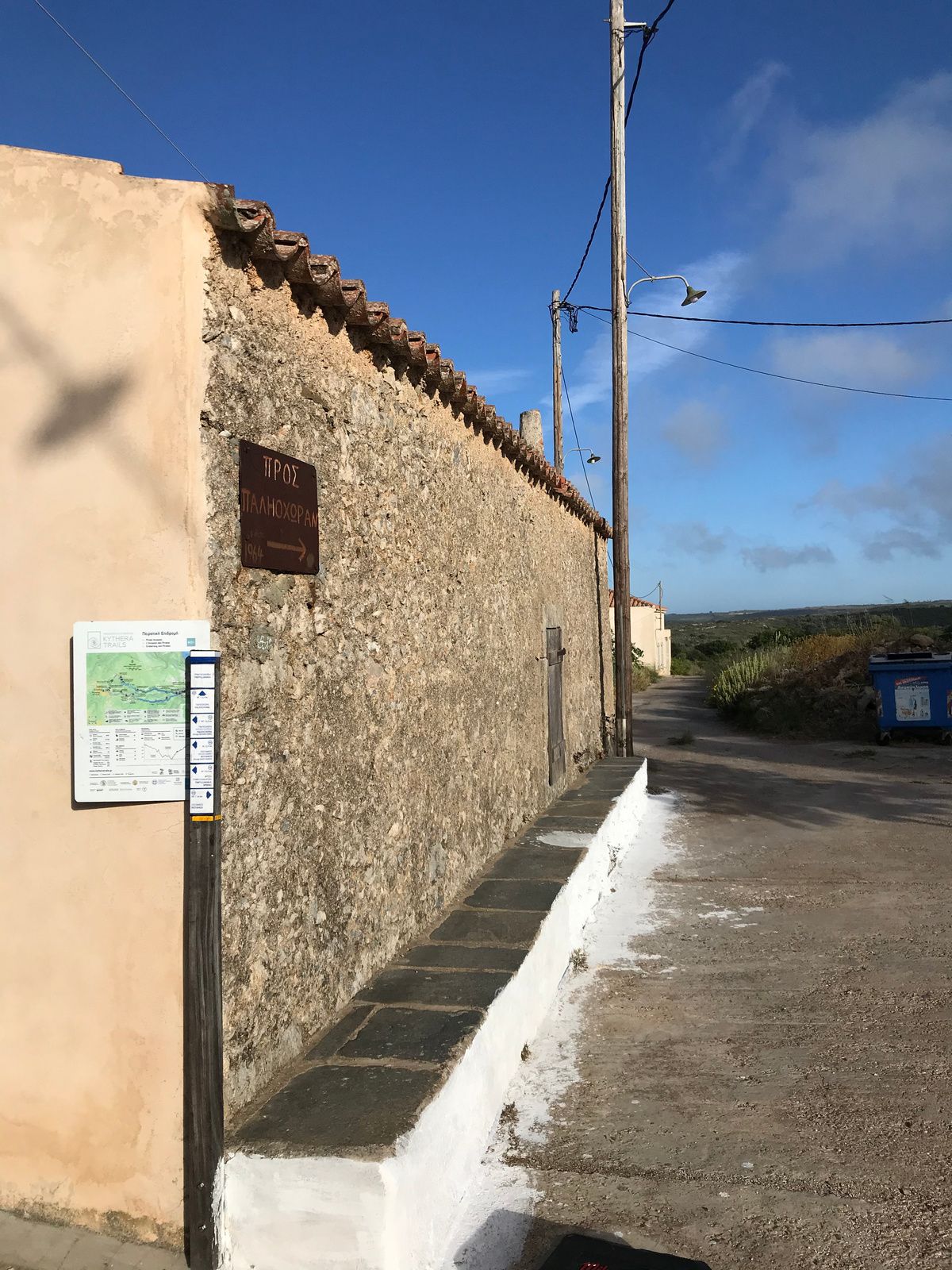
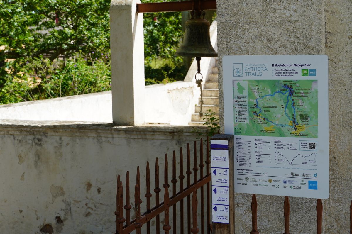
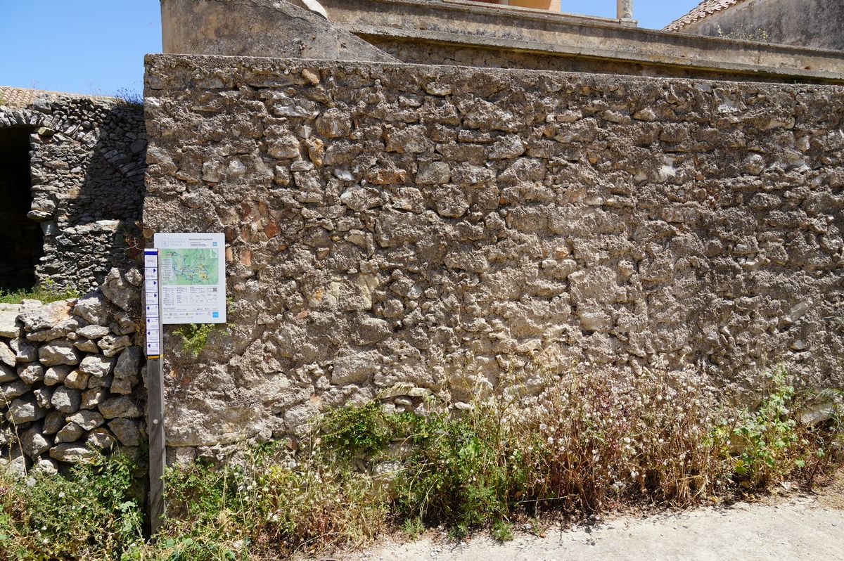
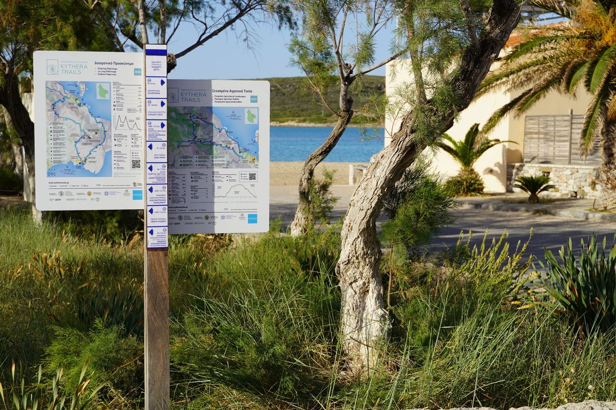
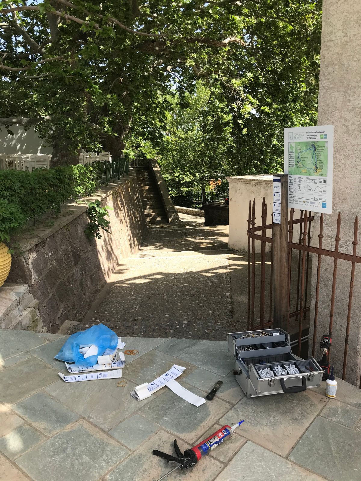
Paths of Greece presented and promoted Kythera Trails, and the newly established Skiathos Trails and Hydra Trails networks!

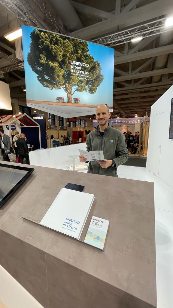
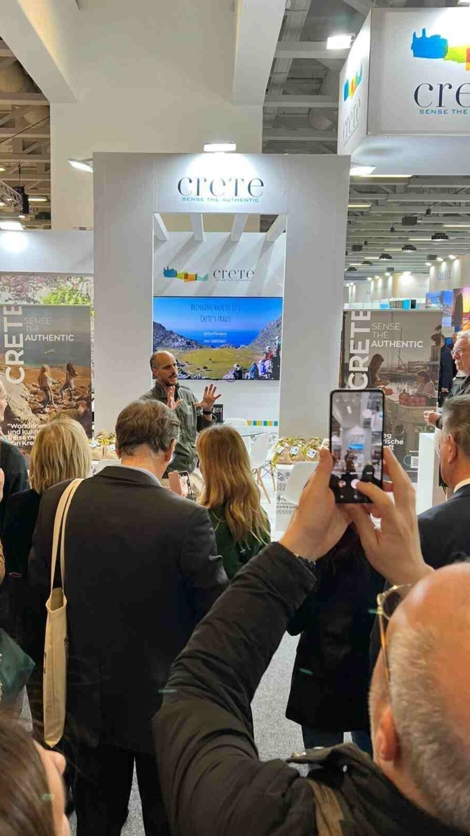
From the 7th to the 9th of March, the tourist exhibition ITB Berlin took part in Berlin, where we were invited as guests of the region of Crete in order to present the hiking networks that have been developed in recent years.

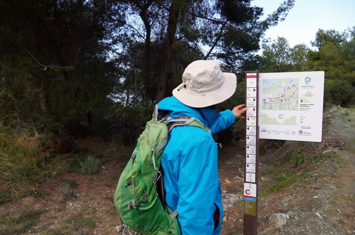
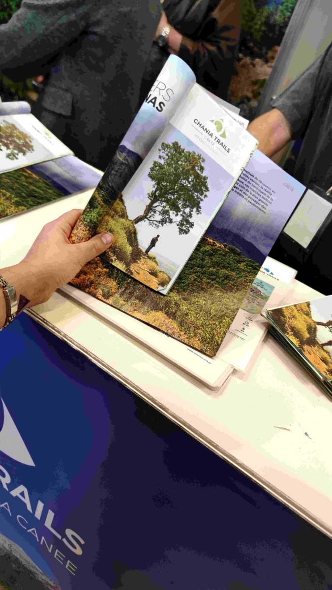
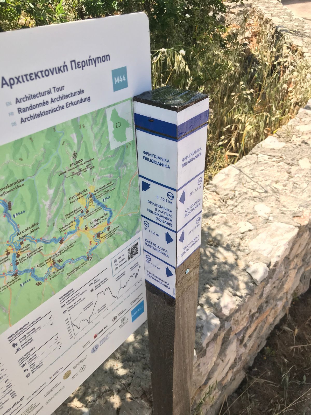
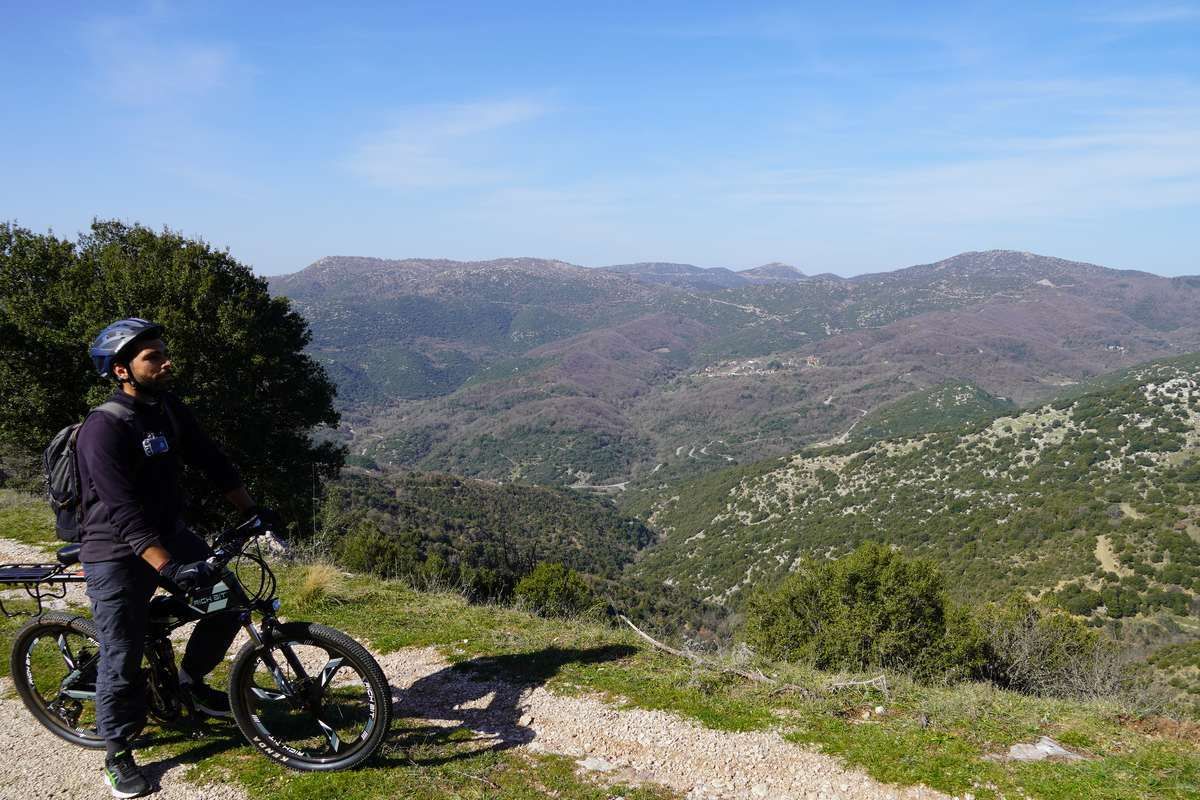
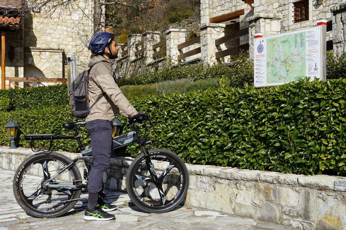
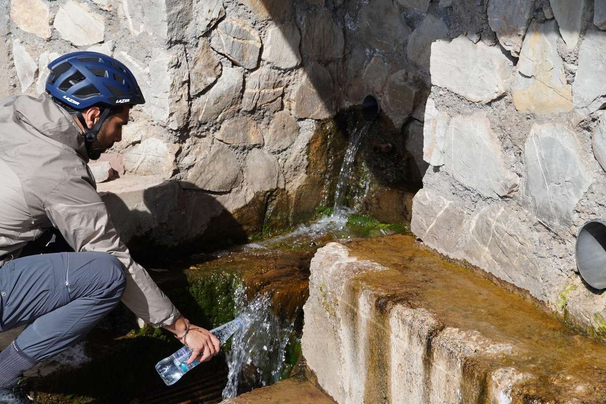
More specifically, in the municipalities of the regional unit of Chania, studies have been carried out for networks of hiking routes, of which the one of the municipality of Apokoronas has been completed. The ultimate goal is that all of them will be subject to the single hiking network of the regional unit of Chania, named “Chania Trails”.

At the same time, we were pleased to come across the presentations of three other hiking destinations in Greece, with which we have collaborated to create hiking networks, Skiathos Trails, Sifnos Trails and Lehovo (Paths of Peace)!

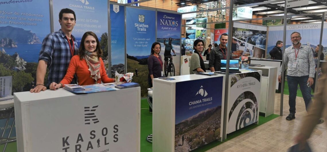
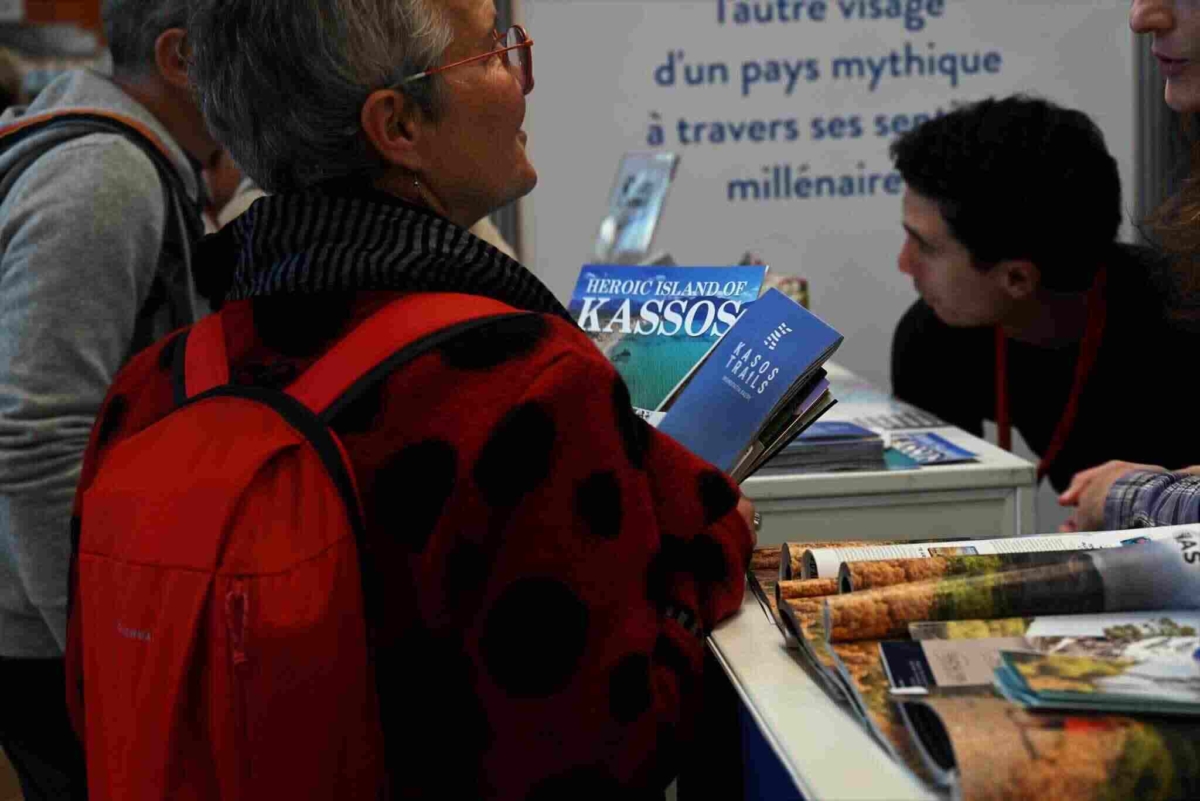
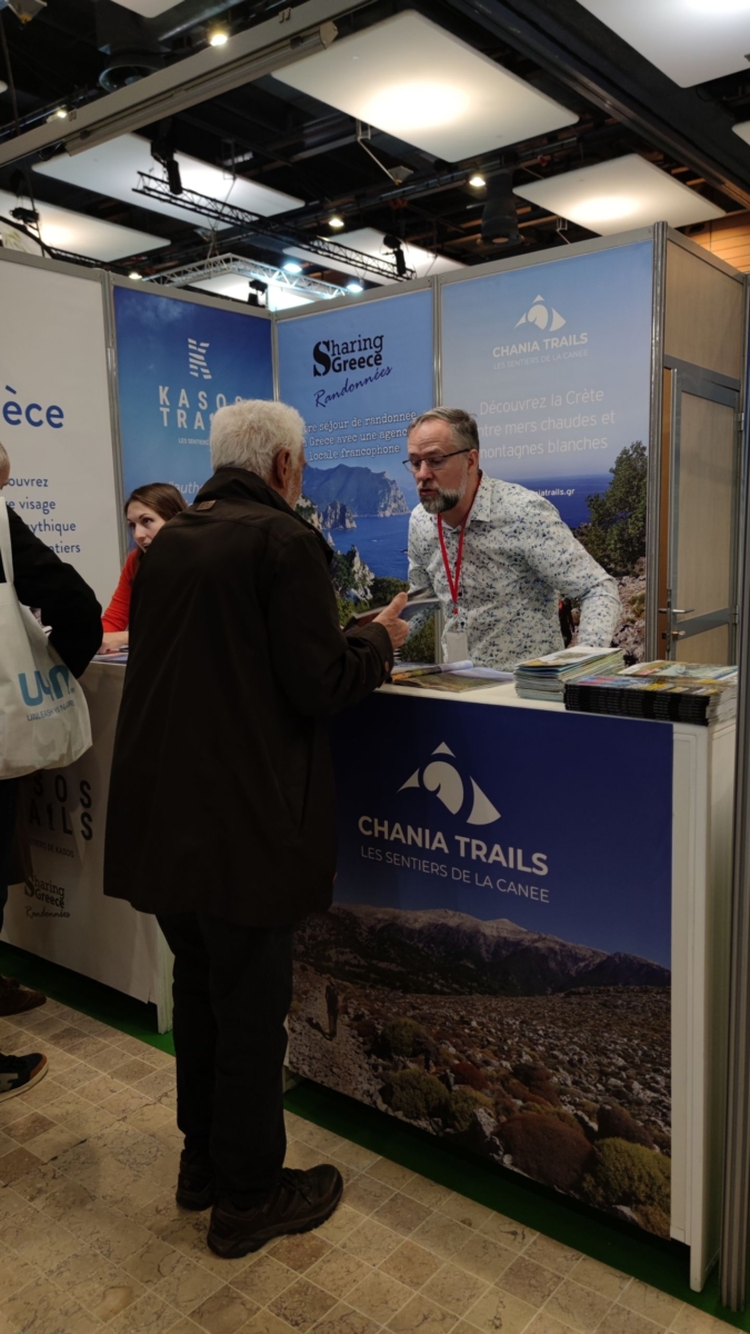
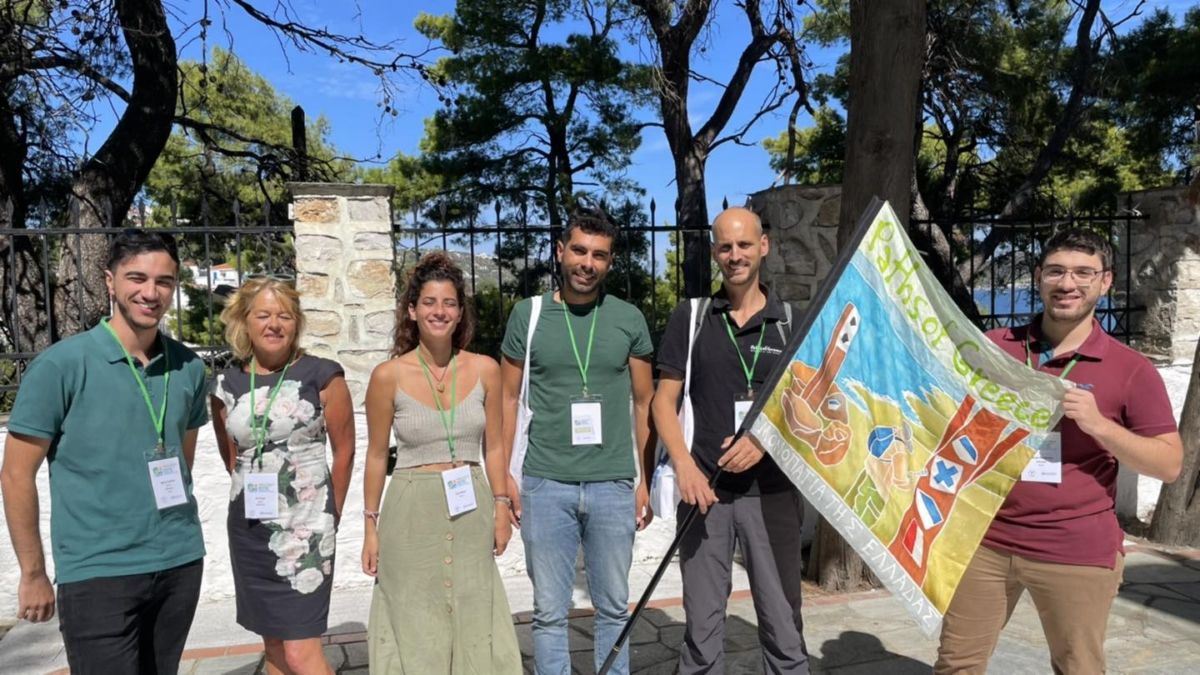
Finally, the exhibition which we consider the most important in our field, since it consists almost exclusively of hiking tourism, is the Salon du Randonneur. This year the three-day event was held March 24-26, in Lyon, France.

The approximately 14,000 visitors that the exhibition usually gathers had the opportunity to learn about more Greek destinations than ever before!

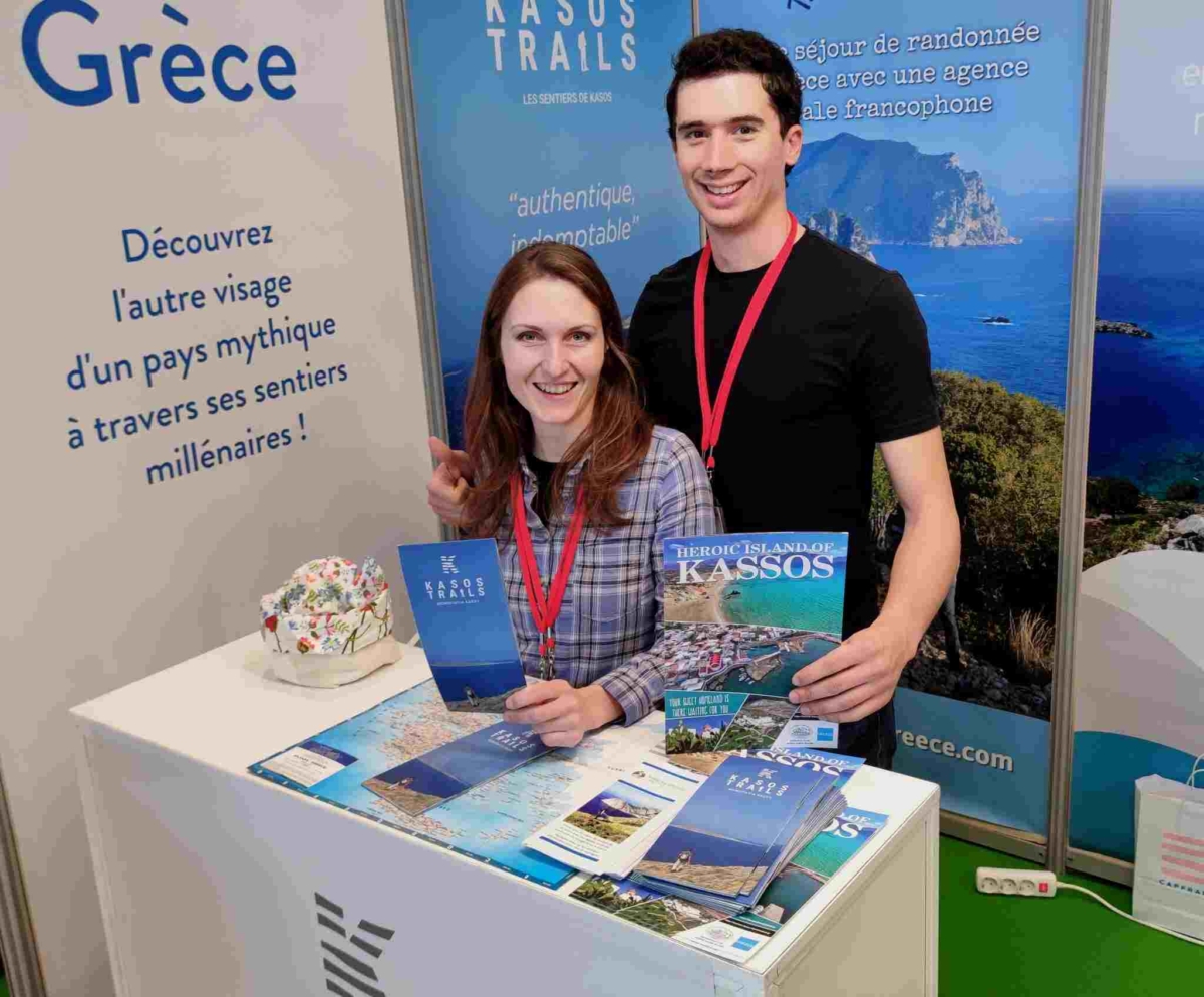
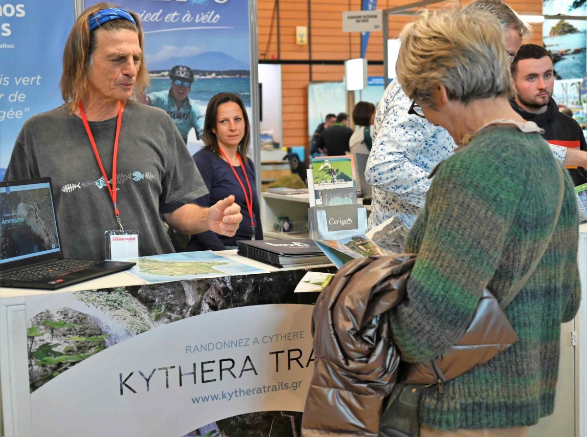
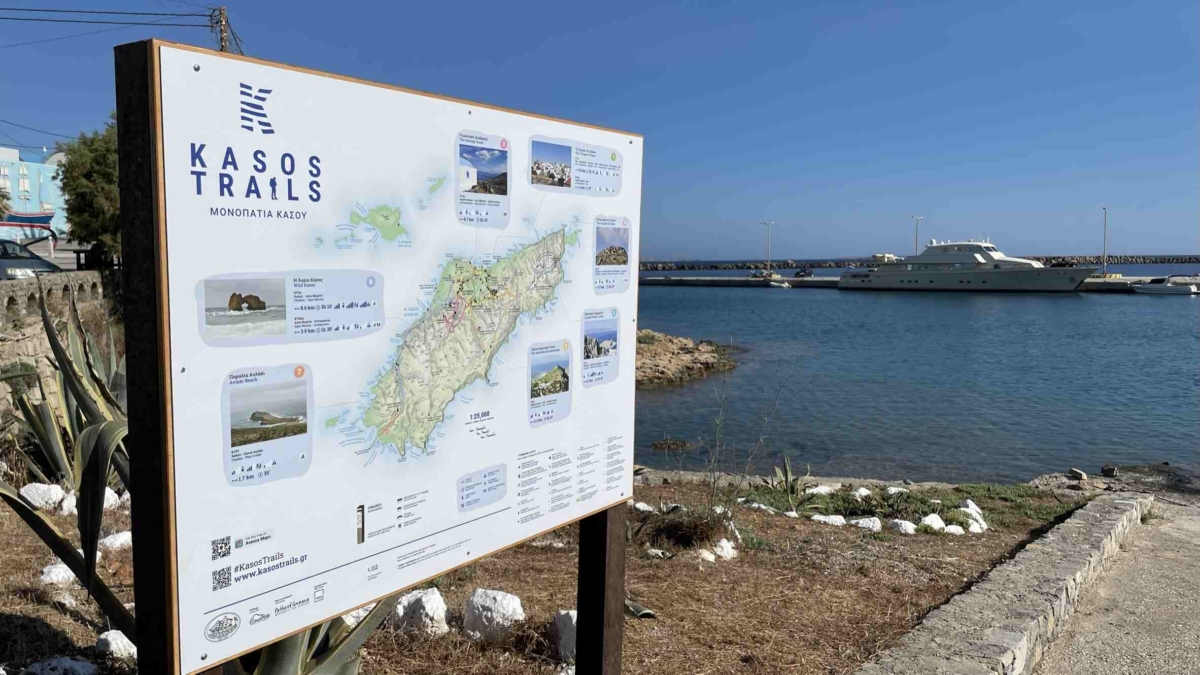
Paths of Greece represented Kasos (Kasos Trails), Kythera (Kythera Trails), Skiathos (Skiathos Trails), Naxos and Chania with the paths of Apokoronas municipality (Chania Trails).

Of great importance was the presence of the tourist offices Active Holidays in Greece – Gnosis Active Travel and Sharing Greece, representing Naxos and Kasos, respectively.

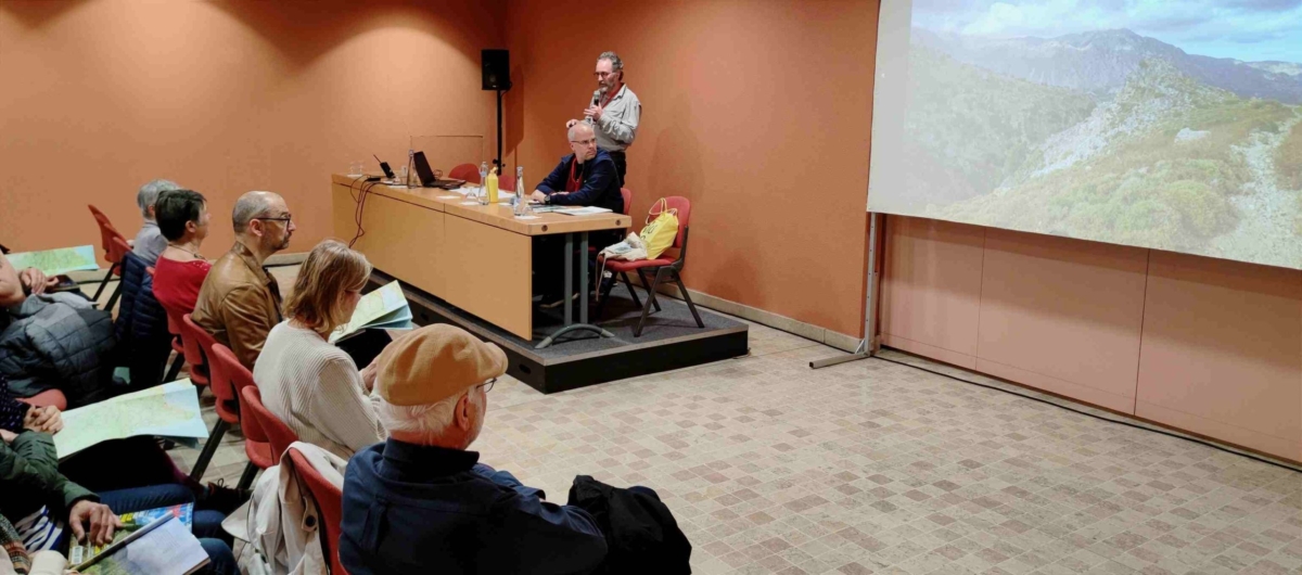
For the paths of Chania and the municipality of Apokoronas, their representative Dimitris Michelogiannis presented the network, in collaboration with journalist Sylvain Bazin, editor-in-chief of Wider magazine.

2022 Recap


In 2022 the Social Cooperative Enterprise Paths of Greece remained very active.

Coming out of the Covid-19 era, our top priority was to expand and add to our team.
Thus, now Paths of Greece fully employs 7 employees, while at the same time the collaboration with a large number of external partners continues.

The most important of the surveys carried out were those in North Corfu, Dionysos, Xiromero of Aitoloakarnania, Nympheo of Florina, Edessa, Epidaurus and Arta.

The summer for Paths of Greece was very intense, as we undertook the implementation of the hiking networks of the islands of Kasos and Skiathos. Studies conducted in 2018 and 2020, respectively.

These are two projects that were completed with great success and made us proud, as we were able to translate the original field research information into two complete networks, with top specifications and a wealth of accompanying and supporting information.

Of course, none of this would have been possible without the perfect cooperation and valuable help from the respective municipalities of the regions, our external partners and from the local work crews, with which we were able to complete the two projects.

Within the year, the implementation of an even earlier study that we had conducted, that of the Municipality of Apokoronas in Crete, was completed. The network of hiking routes has been implemented by the Municipality of Apokoronas, and lately it has been in early stage, as some corrections are still being made.

The most important event of the year was definitely the World Hiking Conference, which took place in September, on the island of Skiathos.

The 8th World Hiking Conference, that was organized by the World Trails Network (WTN) was a resounding success! The heart of world hiking beat in Skiathos!

The Municipality of Skiathos had to offer and showcase its newly established hiking network, which consists of 14 routes, implemented by the Municipality of Skiathos, in collaboration with Paths of Greece.

New trailhead signs for Kythera Trails


New trailhead signs have been installed on the Kythera Trails Network!

24 trailhead signs have been installed in 16 traditional villages, welcoming hikers on the 11 trails of the network.

The signs boast the logo of the identity of each trail, with plenty of information being at the same time minimal and small in size. The aim is to give as much information in the less obstructive way.

The trailhead signs are divided into four main parts. In the upper part lie the title and the code of the trail, with the “Green Flag Trails” logo for the trails that have been certified. The central part is dominated by a detailed hiking map. In the two lower parts one can find detailed technical information bout the trail, according to the requirements of the Green Flag Trail certification, website and Social media links, as well as the logos of the organisations that fund and run the project.

The installation of the signs has been funded by the Mediterranean Institute for Nature and Anthropos (MedINA) and the Municipality of Kythera, in cooperation with the Kytherian Foundation for Culture and Development (KIPA). The creation supervision and implementation of the signs has been performed by Paths of Greece. Maps have been designed by Staridas Geography and graphic design is by Instinct Design.

Metropolitan Trails Academy Launch


In the last two years, the European network of metropolitan trails designers, located in Athens, Köln, London, Milano, and Marseilles, has prepared online teaching tools to enable the creation of metropolitan trails in new cities. In this prospect, we recently opened the online version of the Metropolitan Trails Academy and invite you to discover our charter, lessons, mooc and documents, before designing the trail of your city. Register now:

https://metropolitantrails.org/el/academy

Cycling Trails in the Peloponnese

The beauty of Greece lies in its most unexpected places. Enjoy this short video that we shot while cycling in the mountainous part of Messinia, Peloponnese, Greece. Paths of Greece has been recently exploring the mountainous Messinia region in order to design a cycling trails network, to complete the Apollo Trails hiking network. This video was made together with Apollo Trails and the Hikers Friendly Hotel “Abeliona Retreat“.

A Path for the Disabled as Skiathos Trails enter a new Era


In 2021, the walking trails of Skiathos will be ready for hikers to explore this beautiful island. Their total length exceeds 100 kilometers. Paths of Greece has recently conducted the study of the project, which includes the re-shaping of the trails network, infrastructure works, way-marking, and of-course promotion. Fivos Tsaravopoulos, co-founder of Paths of Greece, spoke to the H&R and revealed an innovation of the project: “The trails network will have the first in Greece accessible path to disabled persons, as part of the overall hiking network of the place”.

The footpaths of Skiathos cover all the cultural and natural beauty of the island

The trails network has been divided into 15 routes. “They cover the whole island. Its History, its cultural richness, nature, forests and cultivated areas. There has also been designed a trail for plane take-off / landing watching around the airport of Skiathos” Tsaravopoulos said. It is well known that the airport of Skiathos has one of the most spectacular locations in the world as planes take off and land very close to the seashore and swimming folks.

A special way-marking will help the hikers

As for the way-marking and sign-posting, trails will be marked following a specific methodology, with color, signs with arrows and directional information, as well as larger information boards with a map of the island and technical details about the trails.

Wide promotion in social media and creation of a digital guide for Skiathos

The footpaths of Skiathos will be presented through a specific website with all the information that will help hikers planning their trip. The website will be linked to Social Media. A free App will be available for hikers to download, guiding them digitally along the trails. A leaflet, with the map of the trails will also be at the hiker’s availability. The leaflet will have a walking map, lots of beautiful pictures of Skiathos and information about the trails.

Translation of an article publishe at the Hotel & Restaurant Νο 510, of Boussias Communications. Author: Maria Gourtsilidou

[fusion_builder_container hundred_percent=”no” hundred_percent_height=”no” hundred_percent_height_scroll=”no” hundred_percent_height_center_content=”yes” equal_height_columns=”no” menu_anchor=”” hide_on_mobile=”small-visibility,medium-visibility,large-visibility” class=”” id=”” background_color=”” background_image=”” background_position=”center center” background_repeat=”no-repeat” fade=”no” background_parallax=”none” enable_mobile=”no” parallax_speed=”0.3″ video_mp4=”” video_webm=”” video_ogv=”” video_url=”” video_aspect_ratio=”16:9″ video_loop=”yes” video_mute=”yes” video_preview_image=”” border_size=”” border_color=”” border_style=”solid” margin_top=”” margin_bottom=”” padding_top=”” padding_right=”” padding_bottom=”” padding_left=””][fusion_builder_row][fusion_builder_column type=”1_1″ layout=”1_1″ spacing=”” center_content=”no” link=”” target=”_self” min_height=”” hide_on_mobile=”small-visibility,medium-visibility,large-visibility” class=”” id=”” background_color=”” background_image=”” background_position=”left top” background_repeat=”no-repeat” hover_type=”none” border_size=”0″ border_color=”” border_style=”solid” border_position=”all” padding_top=”” padding_right=”” padding_bottom=”” padding_left=”” dimension_margin=”” animation_type=”” animation_direction=”left” animation_speed=”0.3″ animation_offset=”” last=”no”][fusion_imageframe image_id=”14607″ style_type=”none” stylecolor=”” hover_type=”none” bordersize=”” bordercolor=”” borderradius=”” align=”none” lightbox=”no” gallery_id=”” lightbox_image=”” alt=”” link=”” linktarget=”_self” hide_on_mobile=”small-visibility,medium-visibility,large-visibility” class=”” id=”” animation_type=”” animation_direction=”left” animation_speed=”0.3″ animation_offset=””]https://www.pathsofgreece.gr/wp-content/uploads/2019/11/Path-of-the-muscat-signs-300×200.jpg[/fusion_imageframe][fusion_text columns=”” column_min_width=”” column_spacing=”” rule_style=”default” rule_size=”” rule_color=”” class=”” id=””]

Samos was given a great hiking route, called Muscat Vineyards Path, dedicated to the production of muscat wine. In the broader area of Vourliotes village, at the slopes of Karvounis Mt. we have unveiled and waymarked a 10km long trail. The trail presents all the important sites of the area, having as a main thematic the production of Muscat wine. For further information click here.

[/fusion_text][/fusion_builder_column][/fusion_builder_row][/fusion_builder_container]

Onithe Archaeological Footpath


In September 2019, we inaugurated the Onithe Archaeological Footpath, the best way to visit the archaeological site of Onithe in Goulediana village, Rethymnon, Crete. The footpath meanders through the mysterious archaeological site of Onithe, only scarcely explored by archaeologists. Walking the footpath, one can visit the most important sites of Onithe, like the Early Christian Basilica, the Archaic Houses, the Acropolis, the church of Kera as well as harvested lands and viewpoints, in a land that is for millennia now still under constant exploitation.

The cultural/touristic route of Onithe develops in reference to the ruins of an important ancient city, Onithe, which flourished during the Archaic period (7th-6th century BC). The site has been also in use at later times as it is documented by the preserved ruins of Hellenistic, early Byzantine, Venetian, Ottoman and modern buildings and structures.

Apart from the historic significance of the area, the path highlights the natural features that comprise this particular land such as the unique flora, the farming traditions and installations as well as aspects and areas of geological and paleontological interest.

Paths of Greece has developed these trails for the Goulediana Cultural Association “ONYTHE”. The trails have been sign-posted with compliance to all international standards. The map of the trail and area has been designed by Staridas Geography. For further information, please click here.