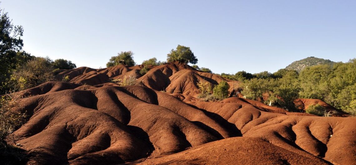
In December 2018, we created a digital map presenting the Red Zero Path hiking trail, in the Thesprotiko area of Preveza. The map was commissioned by the General Lyceum of Thesprotiko “Vasilios Zorbas” as part of a European program in which the school participates. Our collaborator in this effort is the cartographer Spyros Staridas , who each time creates more and more impressive and user-friendly maps. The map we created was “uploaded” to the Avenza Maps application , and is available for download completely free of charge. If you are in the area, you will see that it accurately shows your location, even offline, and provides information about points of interest along the path.
Paths of Greece designed and implemented the project on behalf of the “King Zorbas” General Lyceum of Thesprotiko .


Research
Historical research
Environmental research
Tracing old paths
Network design
Projection
Identity
Application